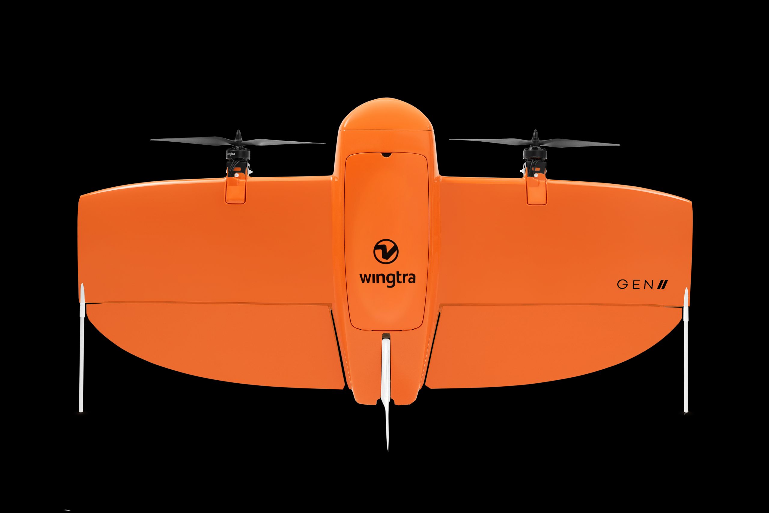
The WingtraOne Gen II is a high-precision VTOL (Vertical Take-Off and Landing) drone designed for surveying and mapping offering centimetre level accuracy, long flight times, and versatile payloads.
Key Features:
High Accuracy and Coverage:
- Absolute Horizontal Accuracy: Down to 1 cm (0.4 inches) and vertical accuracy of 3 cm (1.2 inches) without ground control points (GCPs).
- Ground Sampling Distance (GSD): As low as 0.7 cm/px.
- Coverage: Capable of covering large areas up to 360 hectares at 90 meters altitude with a single flight.
Flight Performance:
- Flight Time: Up to 59 minutes per flight.
- Speed: Can fly at speeds up to 16 m/s (36 mph).
- Wind Resistance: Operates safely in sustained winds up to 12 m/s (27 mph) and gusts up to 18 m/s (40 mph).
Payload and Sensors:
- Swappable Payloads: Supports a variety of sensors for different applications, including:
- RGB Cameras: Sony RX1R II, Sony Alpha 6100, and Oblique Sony a6100 for high-resolution images and detailed 3D models.
- Multispectral Cameras: MicaSense RedEdge-MX and RedEdge-P for agricultural and environmental surveying.
- LIDAR: For creating detailed digital terrain models.
Software and Workflow:
- WingtraPilot: Flight planning app that supports features like KML import, corridor mapping, terrain following, and pause and resume functionality.
- Predictive Maintenance and Safety Checks: Self-diagnosis and automatic safety checks before and during flights.
Design and Build:
- VTOL Capabilities: Allows for vertical take-off and landing in confined spaces and rough terrain.
- Build Quality: Assembled in Switzerland and subjected to rigorous testing to ensure high reliability and performance.
Integration and Compatibility:
- Software Partnerships: Compatible with geospatial software like Esri’s Site Scan for ArcGIS and Bentley’s ContextCapture for processing data and creating 3D models.
Additional Photos